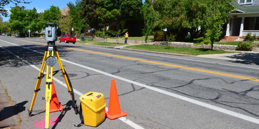
Engineering Land Survey
This service involves measuring physical features of the land with great precision. Based on these verifications, our survey engineers establish the dimensions, distances and angles of the land. For accurate results, concepts of geometry, trigonometry, engineering, math and physics are applied. Application of state of art technology such as GPS, AutoCAD software, and digital photography add quality to land development and road projects.
- Road Survey
- Canal Survey
- Railway Survey
- City Survey
- Airport Survey
- Route Survey
- Cadastral Survey